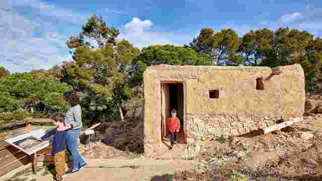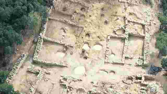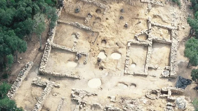
Puig de Castellet Archaeological Site
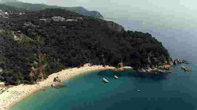
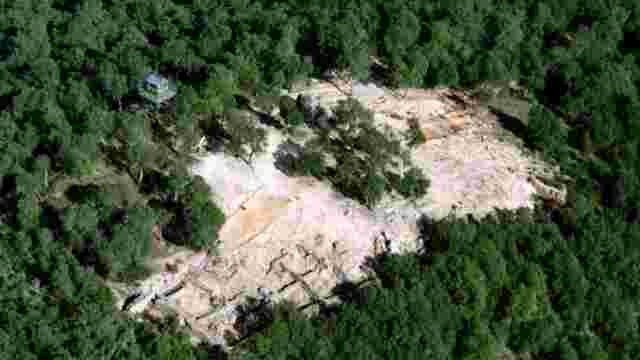
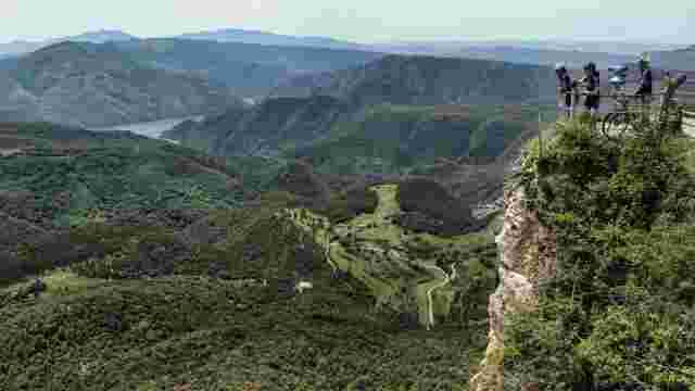
The Puig de Castellet Archaeological Site, which dates back to the 3rd century B.C., is located 2 kilometres from the centre of Lloret de Mar. The area enjoyed a strategic advantage due to the dominant views that span from the mouth of the Tordera river to the coast of Lloret. It is a small site measuring 650 m2 and containing around 6 dwellings.
The settlement, which was probably an outpost of a larger centre (possibly the settlement of Montbarbat further inland), is situated on the north-western side of the hill, with a commanding view over the entire coastline yet wholly invisible from the sea.
Therefore, the function of this settlement was surveillance and territorial control, and it possibly housed a group of warriors and their families. It was abandoned around 200 B.C., coinciding with the end of the Punic Wars.